Copyright 2006 Frank Andrews - Home - Glass Home - Map Index - Contact Email: Email Frank
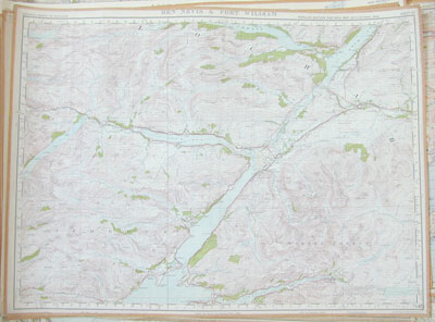
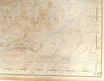
Sheet 47, Ben Nevis and Fort William, date 1947, Popular Edition, Paper.
Size: 56cm x 56cm.
Condition: Good trimmed taped edges was originally a folded sheet but was kept flat with the others and cover removed.
Some locations on the map:
Kinlocharkaig, Prince Charles Cave and Tree, Invergloy, Gairlochy, Spean Bridge, Roy Bridge, Caledonian Canal, Kinlochleven, Omch, Duisky, LMSR, LNER.
Back to previous page